Tag: Bristol
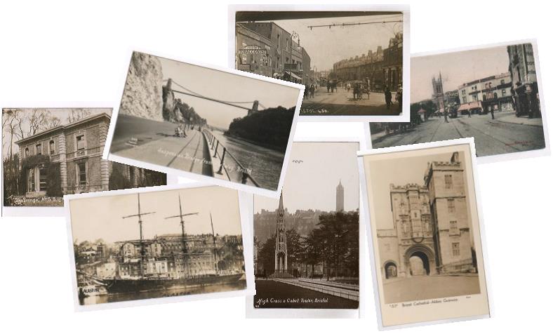
Mapping Collections, Bristol Fashion: The Vaughan Postcards
Historic Mapping, the Vaughan postcard collection and community volunteers. Our series of Workshops to map collections with confidence are continuing throughout May. At our Bristol workshop, City Archivist Julian Warren shared the lessons learned from mapping the Vaughan Postcards Collection. Here, he tells us more…. The Vaughan Postcards collection The Vaughan collection consists of almost 10,000 postcards […]
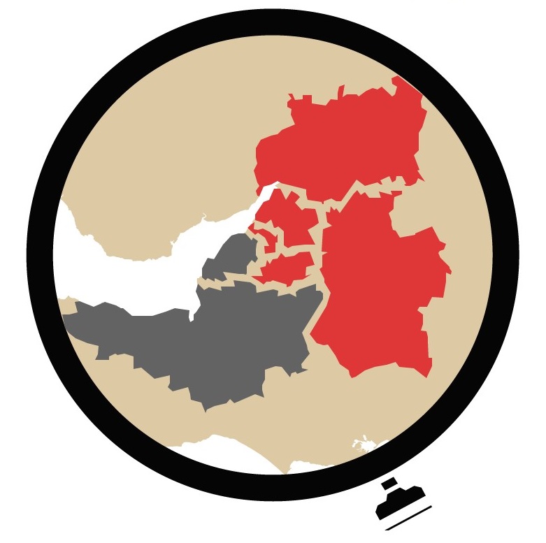
Announcing the launch of Know Your Place in Wiltshire, Bath & NE Somerset and Gloucestershire
Know Your Place project puts three more counties on the map For the first time, historic maps and heritage data of Wiltshire, Gloucestershire, and Bath and North East Somerset are now freely available online in one place, thanks to the latest expansion of Know Your Place West of England. From Stonehenge to Swindon, Keynsham to the Cotswolds, Salisbury plain to […]
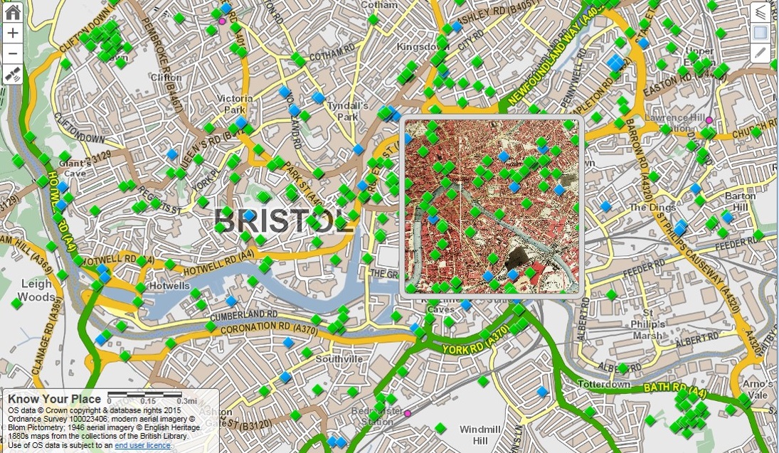
Revealing history on your street
Over the past few months we’ve been travelling the length and breadth of the West of England to work with curators, archivists and librarians, in search of heritage that could be shared on Know Your Place. This heritage includes early photographs, compelling oral histories, beautiful illustrations and fascinating objects that help tell the story of our place. We hope […]
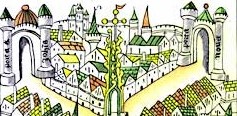
What makes the Cut? Choosing maps for Know Your Place
Peter Insole reveals the selection criteria for maps added onto Know Your Place. Know Your Place (KYP) was created in 2011 with funding from English Heritage (now Historic England) with the intention of sharing as much information about the history of Bristol as possible. One of the main historic sources we wanted to make available […]

New Tools from Old Maps: digitising Ordnance Survey mapping
by Dr. Philip Hatfield, Lead Curator, Digital Maps, British Library The British Library (http://www.bl.uk) is in a process of change. After centuries of collecting material in printed form the Library now looks to acquire and store for the long term increasing amounts of content in digital formats. Why is this? Well, for maps most content […]
